Louisiana's "Cancer Alley" - Landscapes
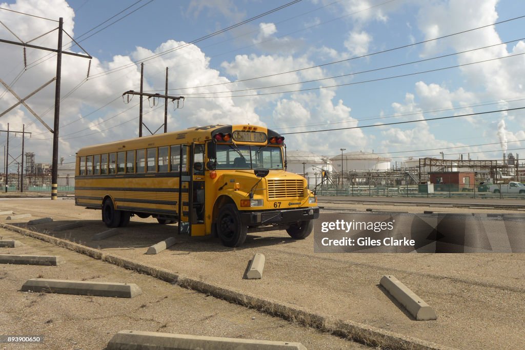
BATON ROUGE, LOUISIANA - OCTOBER 12: An empty school bus idles amongst a field of chemical plants in the area October 12, 2013. 'Cancer Alley' is one of the most polluted areas of the United States and lies along the once pristine Mississippi River that stretches some 80 miles from New Orleans to Baton Rouge, where a dense concentration of oil refineries, petrochemical plants, and other chemical industries reside alongside suburban homes. (Photo by Giles Clarke/Getty Images.)

ライセンスの購入
どんな用途に素材を使えますか?
¥38,500
JPY
詳細
制限:
商業目的またはプロモーション目的で使用する場合は、ゲッティ イメージズのオフィスへお問い合わせください。
クレジット:
報道写真番号:
893900650
コレクション:
Getty Images News
作成日:
2013年10月12日(土)
アップロード日:
ライセンスタイプ:
リリース情報:
リリースされていません。 詳細情報
ソース:
Getty Images North America
オブジェクト名:
2013_10_toxic_gumbo_gclarke2604.jpg
最大ファイルサイズ:
2944 x 1963 px (24.93 x 16.62 cm) - 300 dpi - 3 MB