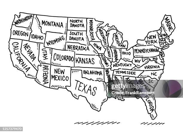
ハワイとアラスカを含む白い背景に分離された米国の地図で、各州の略称が略されています。 - アメリカ合衆国の州点のイラスト素材/クリップアート素材/マンガ素材/アイコン素材アメリカ合衆国, 地図, アメリカ文化
アメリカの地図ではテキサスの赤がマークされています。ハワイとアラスカを含む分割された州と、州ごとに個別のレイヤーがある usa マップ。ベクトル - アメリカ合衆国の州点のイラスト素材/クリップアート素材/マンガ素材/アイコン素材アメリカ州境, 地図, テキサス州
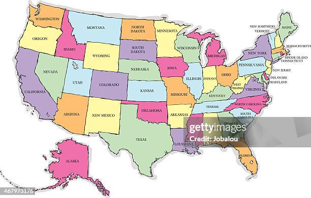
ハワイやアラスカを含む分割された州を描いたアメリカのカラフルな詳細な地図。各州ごとに別々のレイヤーを用意してください。ベクトル - アメリカ合衆国の州点のイラスト素材/クリップアート素材/マンガ素材/アイコン素材地図, アメリカ合衆国, アメリカ文化
State Department Seal is seen in front of the U.S. Department of State in Washington, DC, United States of America on July 9th.アメリカ国務省, ロゴマーク, アメリカ合衆国
Livestock walk in a paddock on the National Mall as the U.S. Capitol is seen on the first day of the “Great American State Fair”on June 25, 2026 in...
The US State Department building is seen as U.S. State Department spokesperson Tammy Bruce speaks to reporters during a press briefing in Washington...
Washington DC, USA, 25 June 2026, A Ferris wheel was a featured attraction at the Great American State However, it wasn't working on the fair's first...アメリカ文化
Secretary of State Marco Rubio , accompanied by U.S. State Department Counselor Michael Needham , U.S. Ambassador to Lebanon Michel Issa , Lebanese...話す, 米政治家 マルコ・ルビオ, ワシントンDC
ウェストバージニア州チャールストンのアンティーク地図(1899年) - アメリカ合衆国の州点のイラスト素材/クリップアート素材/マンガ素材/アイコン素材ウェストバージニア州 チャールストン, 地図, 首都